|
Southern Pacific Shasta Division Engineering Department Maps From Shasta Division Archives....................................................................
|
|
The Not Nearly Complete Chiloquin
|
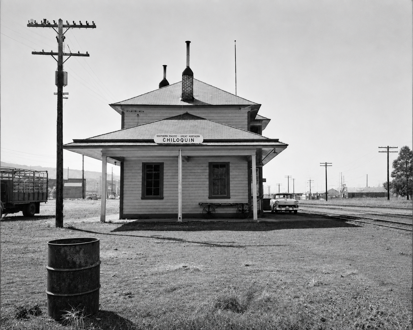
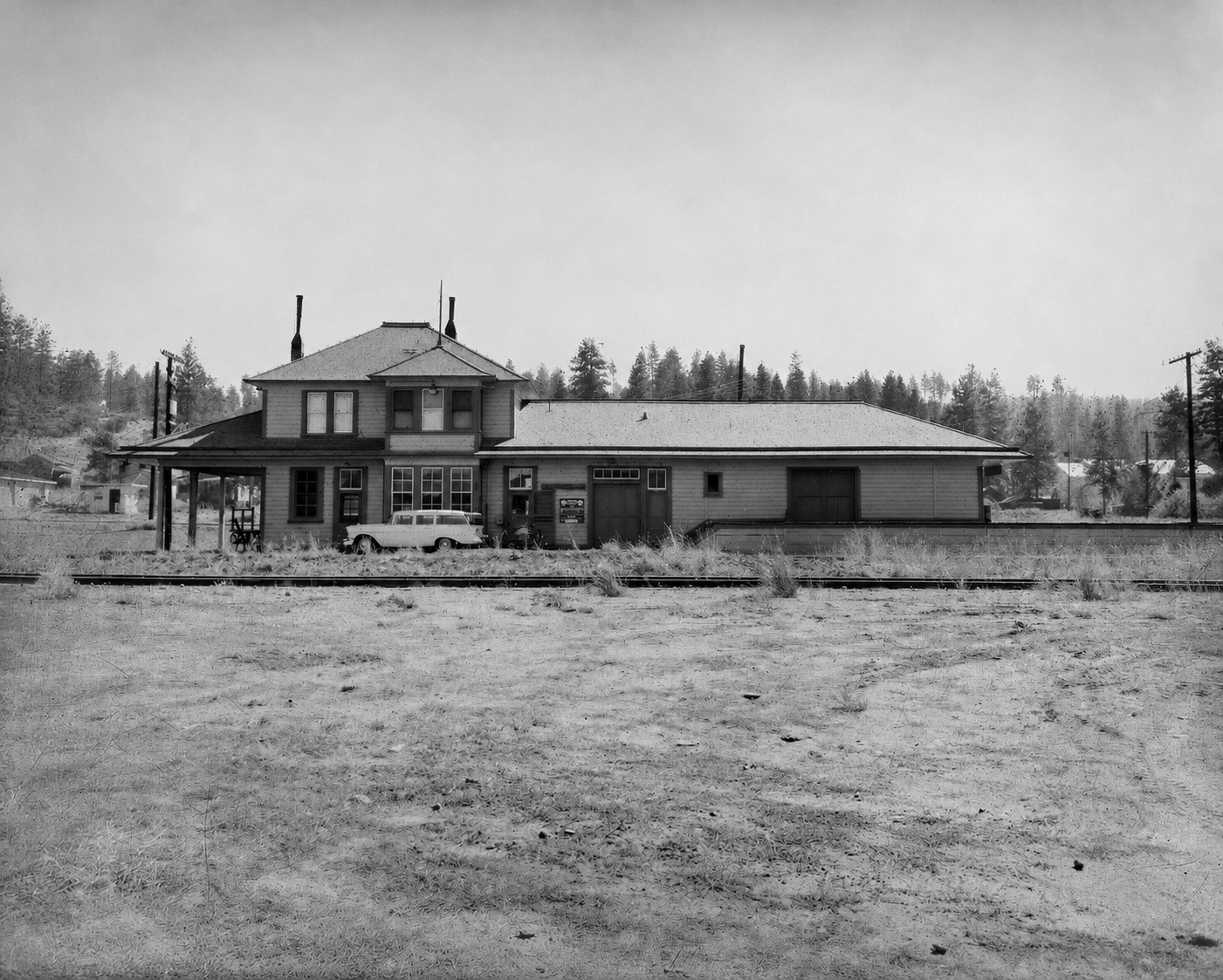
Chiloquin, Oregon was once shared by Southern Pacific and Great Northern, while serving the former as a division point between the Oregon and Shasta Divisions.
Station Maps from Shasta Division Archives:
Notes: The Tulana Farms grain elevator that predominates in the photos shows on the 1953 Station Map, but the site showed as vacant in 1947. The 1947 map shows an "erased" spur heading roughly southwest from the main line (adjacent to the switch to the east leg of the wye to the river, where the log dump of the J.J. Steiger Lumber Company was located. When the spur was removed is unknown.
|
 |
 |
|
|
| The negatives for these Chiloquin, Oregon depot images circa 1959 came from Southern Pacific Company files now part of the Shasta Division Archives collection. Note that they were subject to AI enhancement, as explained at below right. |
|
 |
 |
 |
| The Dangers of AI: These photos came from beat up 4x5 negatives, and worse, Wx4 had no negative scanner capable of handling large negs. Thus, we scanned them as images and relied upon Chat GPT artificial intelligence to make them presentable. AI will interpret "presentable" as fanciful, unless you ride close herd on it, and it is a battle. For example, we noticed the dark little signboard below the southside station sign (not evident in the photo). Even at full scan resolution, we could not make out the lettering, so we asked Chat GPT to figure it out. The initial result at right was largely gibberish, including the words "Portland" and "prisoner", as was "Galaxy Nairioton" on the station sign. After a bit of doing, however, we seem to have outsmarted GPT into coughing up a reasonable representation, as see at left. It may not be be accurate, but it is reasonable. |
|
|
|